Static maps for the exercise "Read a conflict".
Usage
df_geopolitics_map_preah_vihear(theme = ggplot2::theme_minimal())

df_geopolitics_map_iran_war(theme = ggplot2::theme_minimal())Details
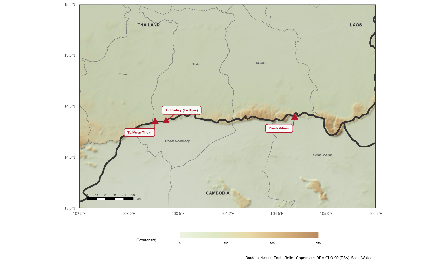
df_geopolitics_map_preah_vihear(): the Thailand–Cambodia border along the
Dângrêk mountains, with the relief (the 1904 treaty put the border on the
watershed, along the escarpment), the provinces and the disputed temples of
Preah Vihear, Ta Muen Thom and Ta Krabey.
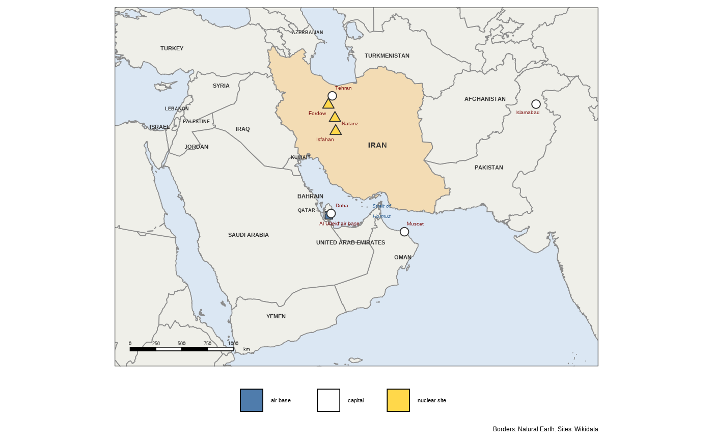
df_geopolitics_map_iran_war(): the region of the war around Iran, from
Israel to Pakistan, with the capitals, the nuclear sites of Fordow, Natanz
and Isfahan, the Al Udeid air base and the Strait of Hormuz.
Coordinates of the sites from Wikidata, borders from Natural Earth, relief
from the Copernicus DEM. Both maps are drawn for a figure about 17 cm wide.
Names, legends and sources are in English or French, following
geotools::gtl_opt_set_i18n().