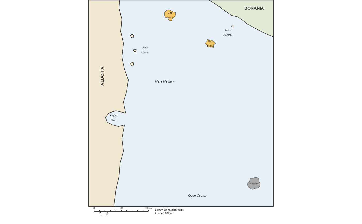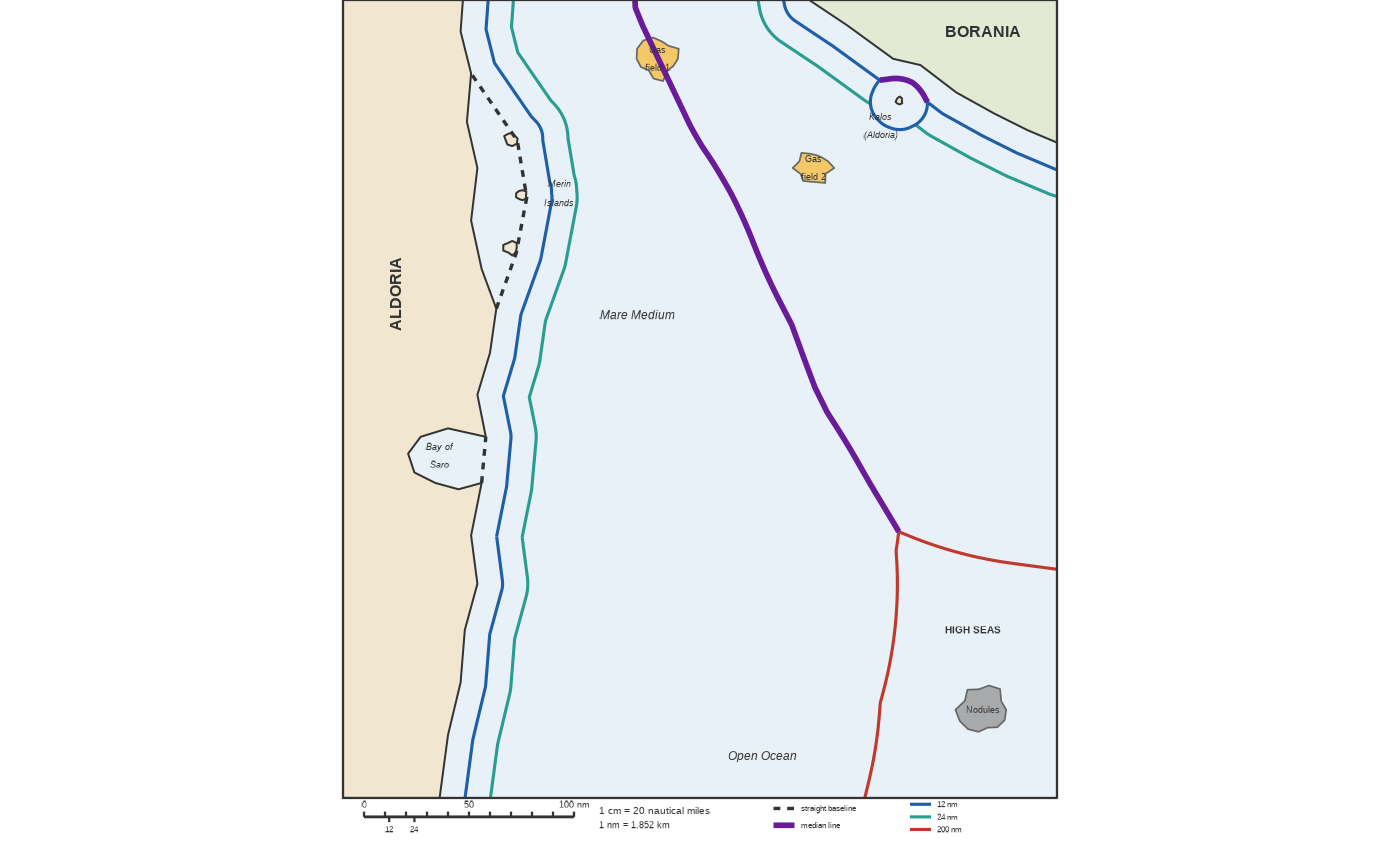
An imaginary coast with two states, Aldoria and Borania, for drawing the maritime zones of the United Nations Convention on the Law of the Sea (UNCLOS) with a compass: internal waters, territorial sea (12 nm), contiguous zone (24 nm), exclusive economic zone (200 nm), median line between the two states and the high seas. The key versions draw the zones, with the island of Kalos counting either as an island (it has its own zones) or as a rock (UNCLOS art. 121.3: territorial sea only, an enclave).
Usage
df_geopolitics_map_sea_zones(
  key = c("none", "island", "rock"),
  theme = ggplot2::theme_void()
)Details
Units are nautical miles. The map is 340 nm × 380 nm with no side margins: printed 17 cm wide (figure 17 cm × 19.9 cm), the scale is 1 cm = 20 nm. Pass a theme without axis text, titles or side margins, otherwise the panel shrinks and the scale is lost. A key version takes a few seconds (distances computed on a 0.5 nm grid for the median line).