Géopolitique de l'Afghanistan
Source:R/map_oc_geo_au_feminin.R
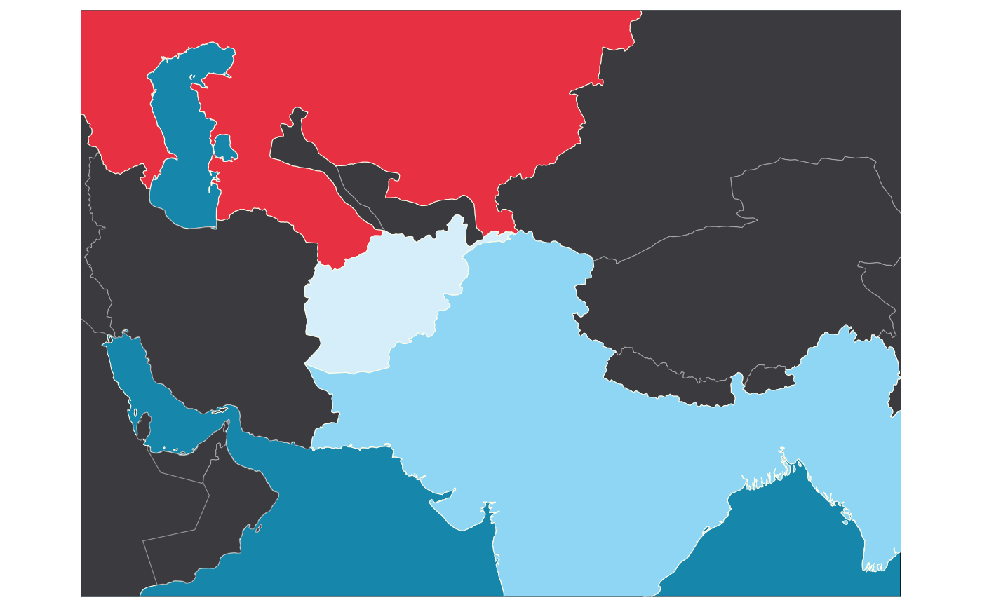
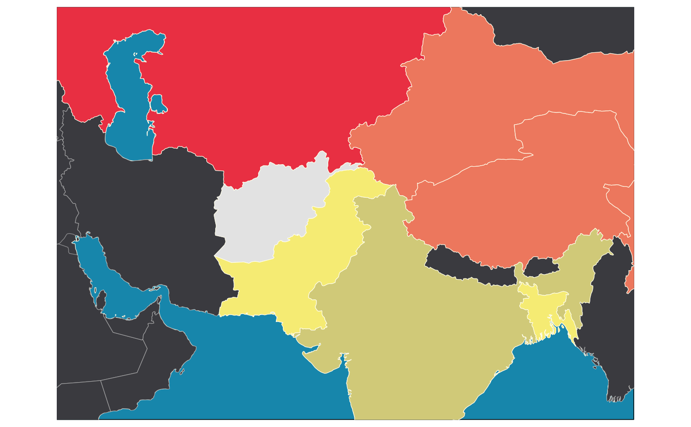
oc_geo_au_feminin_cartes_afghanistan.RdCartes qui permettent de retracer l'évolution géopolitique de l'Afghanistan depuis 1912.
Usage
oc_geo_au_feminin_carte_afghanistan_independance(
  theme = ggplot2::theme_minimal()
)

oc_geo_au_feminin_carte_afghanistan(theme = ggplot2::theme_minimal())Details
Carte disponibles:
1912:
oc_geo_au_feminin_carte_afghanistan_independance()1950:
oc_geo_au_feminin_carte_afghanistan()
Examples
oc_geo_au_feminin_carte_afghanistan_independance()
#> Reading layer `ne_50m_land' from data source `/tmp/RtmpM6slJW/ne_50m_land.shp' using driver `ESRI Shapefile'
#> Simple feature collection with 1420 features and 3 fields
#> Geometry type: MULTIPOLYGON
#> Dimension:     XY
#> Bounding box:  xmin: -180 ymin: -89.99893 xmax: 180 ymax: 83.59961
#> Geodetic CRS:  WGS 84
#> Warning: Tried to calculate with group_by(), but the calculation failed.
#> Falling back to ungrouped filter operation...
#> Warning: Could not calculate the predicate for layer 1; ignored

oc_geo_au_feminin_carte_afghanistan()
#> Reading layer `ne_50m_land' from data source `/tmp/RtmpM6slJW/ne_50m_land.shp' using driver `ESRI Shapefile'
#> Simple feature collection with 1420 features and 3 fields
#> Geometry type: MULTIPOLYGON
#> Dimension:     XY
#> Bounding box:  xmin: -180 ymin: -89.99893 xmax: 180 ymax: 83.59961
#> Geodetic CRS:  WGS 84
#> Warning: Tried to calculate with group_by(), but the calculation failed.
#> Falling back to ungrouped filter operation...
#> Warning: Could not calculate the predicate for layer 1; ignored
